Instruments
Hydrographic surveying
Single-beam sonar
Single-beam echo sounders are characterised by reliable, point-specific depth data and high accuracy. They are suitable for simple surveying tasks and offer good value for money.
Seafloor Hydrolite SF200-9 Single-frequency echo sounder
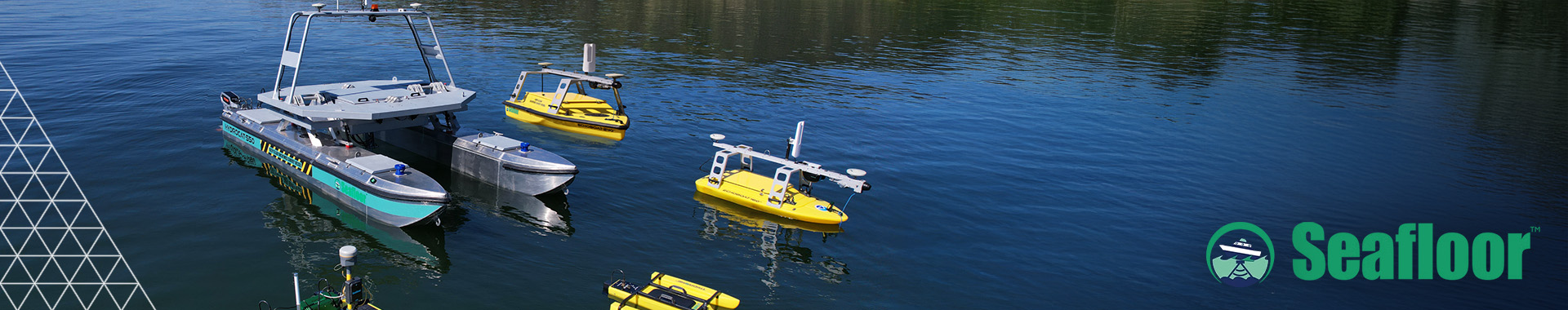
The Seafloor HydroLite™ SF200-9 is a single-beam echo sounder (SBES) designed for hydrographic surveys, offering ease of use, reliability and high accuracy. As the latest development in the HydroLite series, the system is aimed at users who require precise depth data without the complexity of multibeam systems.
The system operates at a frequency of 200 kHz, has a measurement range of approximately 0.15 m to 100 m and offers a depth accuracy of ±1 cm. Thanks to auto-ranging, an integrated power supply and plug-and-play operation, the HydroLite SF200-9 can be deployed quickly – on small boats as well as on unmanned platforms (USVs) or via pole and stern mounting.
The echo sounder is compatible with standard surveying and analysis software (including HYPACK, QPS, EIVA, PDS 2000) and with GNSS systems from leading manufacturers, regardless of the manufacturer. Typical applications include bathymetry in rivers, lakes and canals, dredging monitoring, reservoir surveying and environmental monitoring. The HydroLite SF200-9 thus represents a compact, cost-effective and field-ready solution for professional depth measurements.
Seafloor Hydrolite SF30/200-26/9 dual-frequency echo sounder
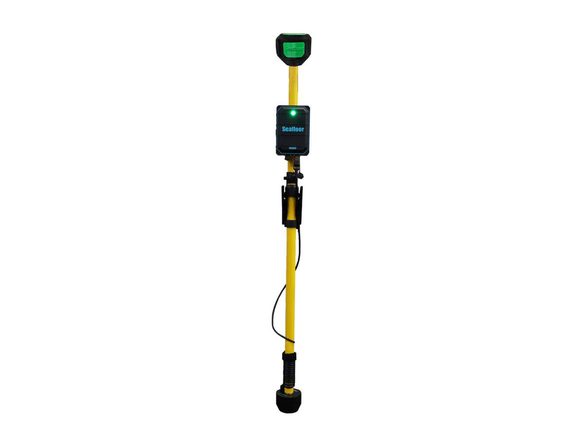
The Seafloor HydroLite™ SF30/200 is a dual-frequency single-beam echo sounder (SBES) designed for demanding hydrographic surveys where both high resolution and greater penetration depth are required. By combining 30 kHz (long penetration depth) and 200 kHz (high detail resolution), the system significantly expands the application possibilities of traditional single-beam solutions.
The system covers a depth range of up to approximately 200 m and offers a measurement accuracy of around ±1 cm. The auto-ranging function, robust construction and plug-and-play operation enable rapid deployment on boats, pole-mounted systems or unmanned surface vehicles (USVs).
The HydroLite SF30/200 is universally compatible with standard hydrographic software and GNSS systems (including HYPACK, QPS, EIVA, PDS 2000) and is particularly suitable for bathymetry in rivers, lakes and reservoirs, reservoir and sediment surveys, dredging monitoring, as well as environmental and engineering surveys. The system thus offers a flexible and cost-effective dual-frequency solution for professional depth measurements.